Cinematic Reality-Capture Unit
Turn Real Locations Into Production-Ready Digital Assets
Sonic 4, LiDAR + Photogrammetry 2025
Why Aerial Reality Capture
Flying Monster bridges the gap between cinematic aerial capture and survey-grade scanning.
We rapidly capture rooftops, streets, terrain, structures, and complex environments from the air — delivering clean datasets optimized for VFX, previs, and digital twin workflows.
Aerial Payload Options
Drone + L3 LiDAR
High-density aerial laser scanning produces accurate geometry across complex environments — from dense urban streets to natural terrain.
Drone + P1 Photogrammetry Sensor
Ultra-high-resolution 48MP global shutter RAW imagery captures texture detail and lighting reference that translates cleanly into VFX pipelines.
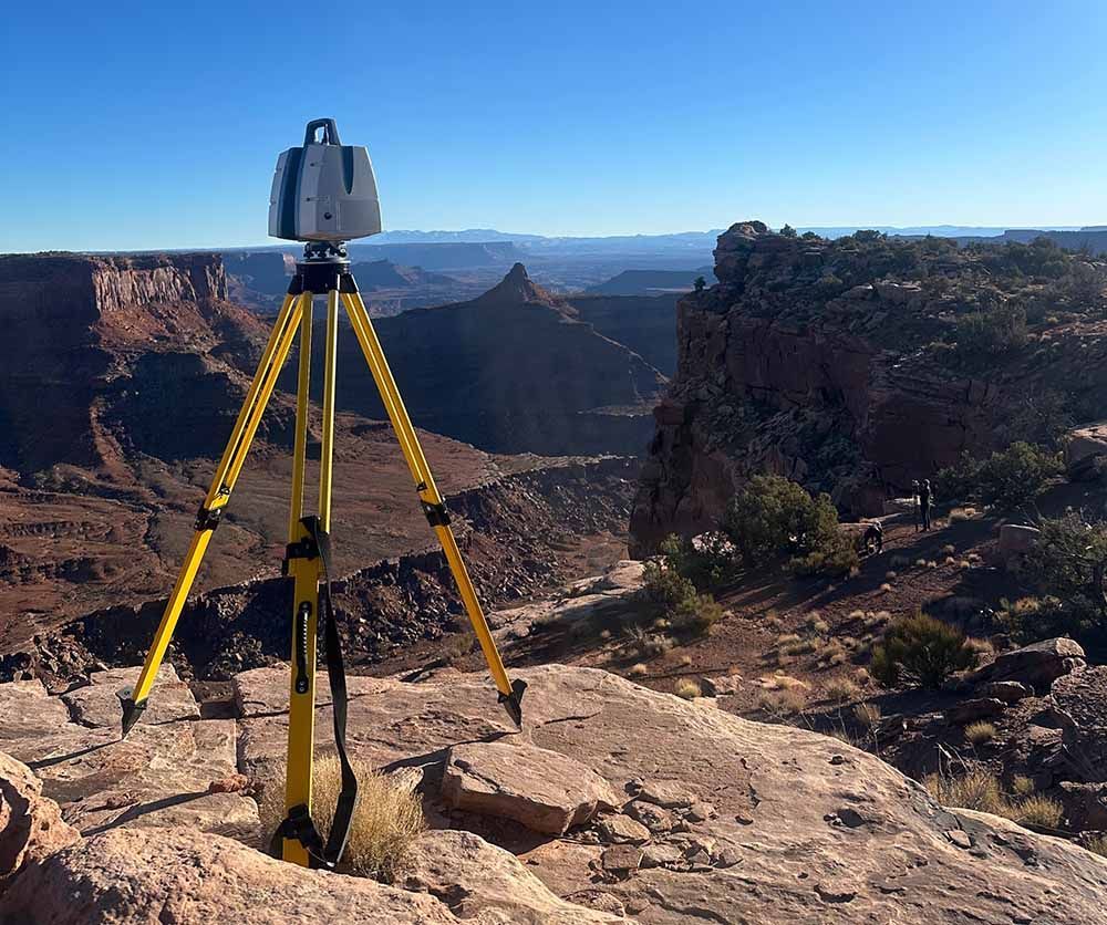
Terrestrial LiDAR — Powered by Aura
Flying Monster has partnered with Aura to provide millimeter-accurate terrestrial scanning using the Leica RTC360 platform. This ground-based LiDAR captures ultra-dense geometry for interiors, hero assets, and fine architectural detail — complementing our large-scale aerial LiDAR datasets.
“Flying Monster changed the pace of our LiDAR workflows. Their aerial capture allowed us to scan environments at a scale that would normally take multiple ground teams days to complete. The data quality was production-ready, and their real-time validation meant we left the location confident we had everything we needed. For modern VFX pipelines, this approach is a major step forward.”
- John Ashby, Senior VFX LiDAR Supervisor